Add to favourites
ILLUSTRATED MAPS
VAT included
Description
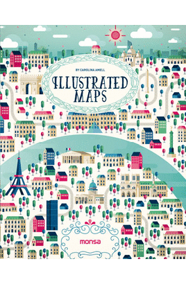
Este libro es una selección de distintas formas de interpretar un mapa a nivel ilustrativo. Diversos artistas han creado mapas de lo s lugares más bellos y de las principales ciudades del mundo con ilustraciones llenas de color. Este libro es una selección de distintas formas de interpretar un mapa a nivel ilustrativo. Diversos artistas han creado mapas de lo s lugares más bellos del mundo y también de las principales ciudades: París, Berlín, Dubai, Río de Janeiro...Ilustraciones llenas de color en las que cada artista nos muestra su...Status: Available for online purchase in 4-5 days
Availability
Buy it now and we will send it to you when we have stock. The charge to your account will be made only when the product is shipped.
DetailsINSTITUTO MONSA DE EDICIONES
2016
192 Pages
Format: Cartone
ISBN: 9788416500260
Language: INGLÉSCategory: Illustration
